Tuesday 5 September 2017

Day 7: Kalispell MT - Clarkston WA

As you are reading this it can be assumed that I have not been killed utterly to DETH in a nasty fiery burny kind of way.  Well, not today anyway.  However, the pall of smoke hanging over much of western USAnia was present and correct for pretty much the entire day, albeit at varying densities.  This rather spoiled what should have been a pleasantly restful-to-the-eyes day, consisting as it did mostly of trees.  My recollection of US-93 south of Kalispell was of a horrid ribbon development interspersed with traffic lights.  I am probably misremembering.

(Checks archives)

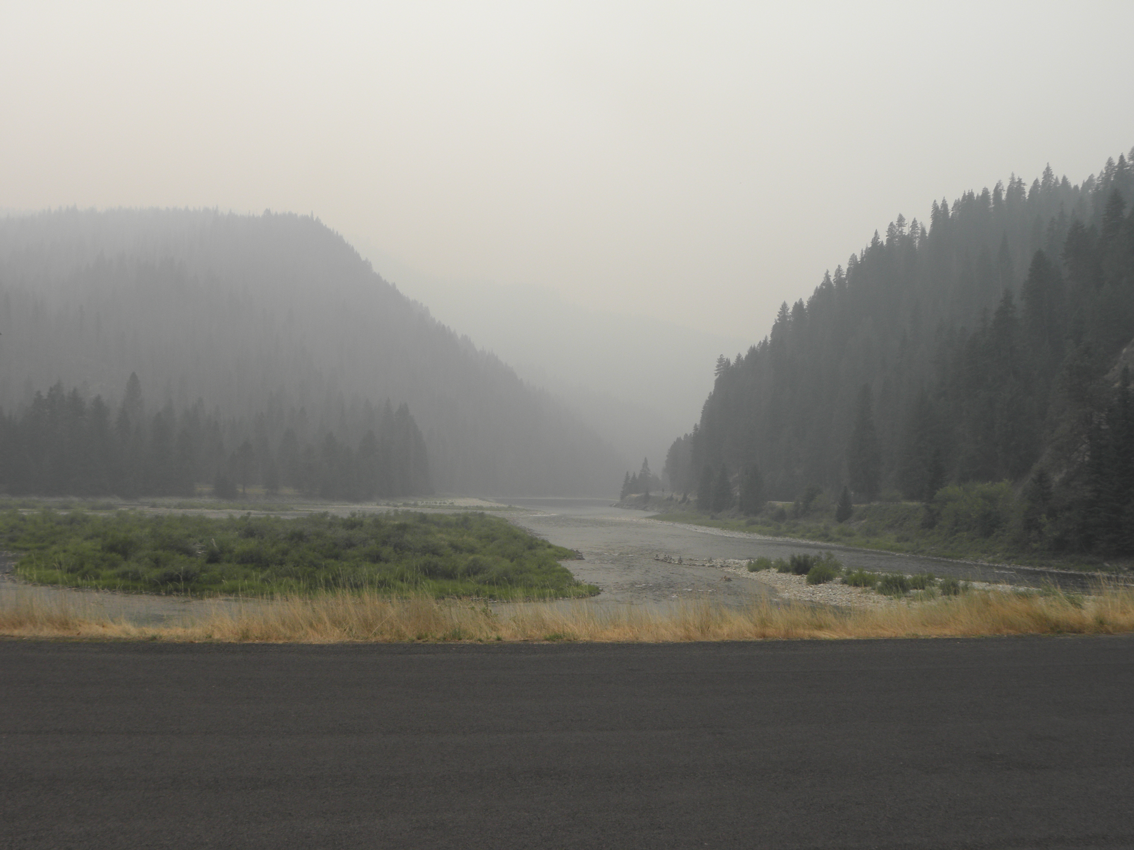
Yes.  Yes, I am.  That was the bit south of Missoula, not north of it.  Oh well, too late now.  In any case, the route down the east side of the Flathead Valley was mostly empty and contains three villages in ninety miles and lots of trees, oh yes.  And a 35 mph speed limit either side of Seeley Lake because of the thickness of the smoke.  Try to imagine this on a nice sunny day:
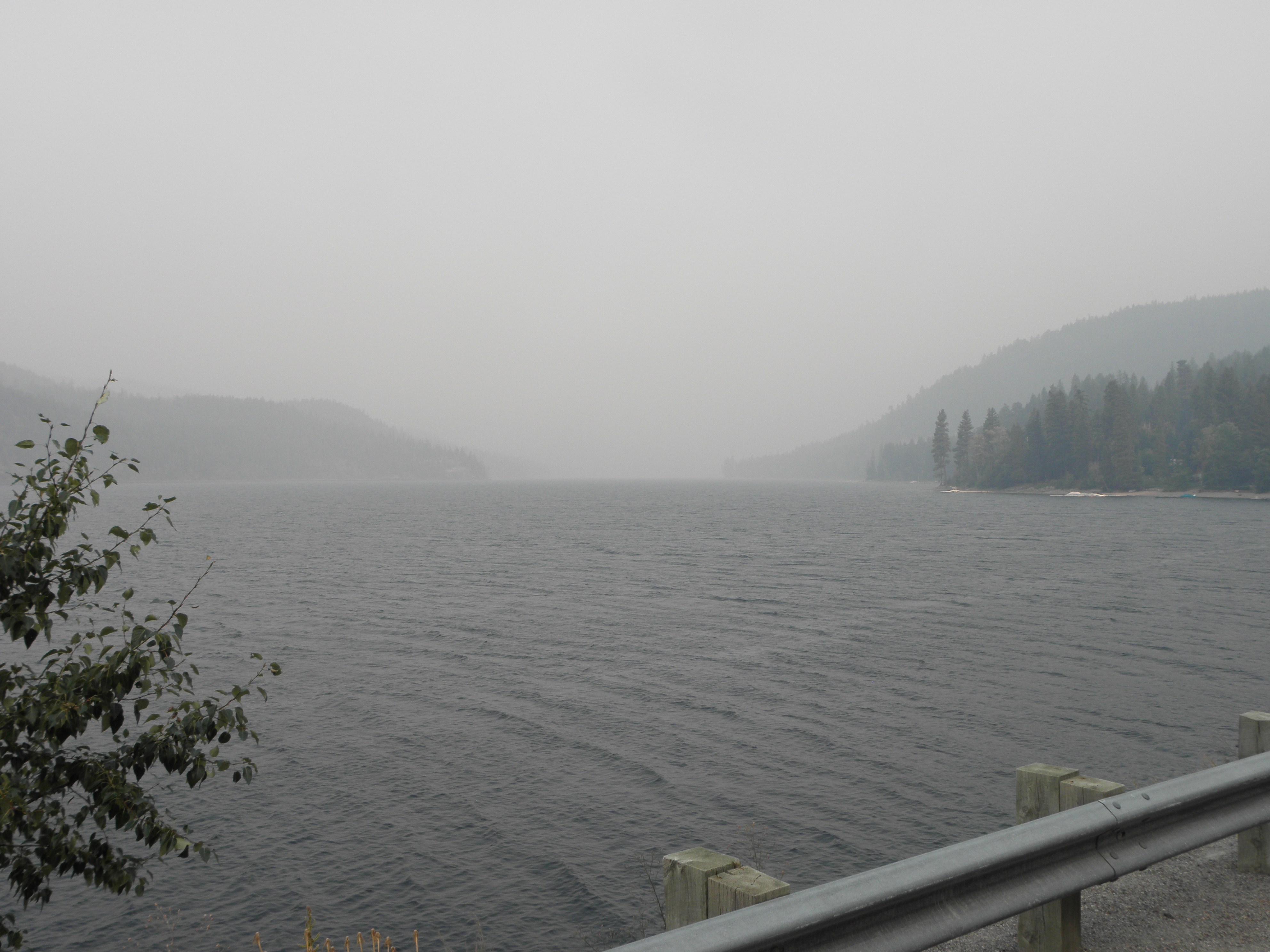
Flathead Lake, with added smoke
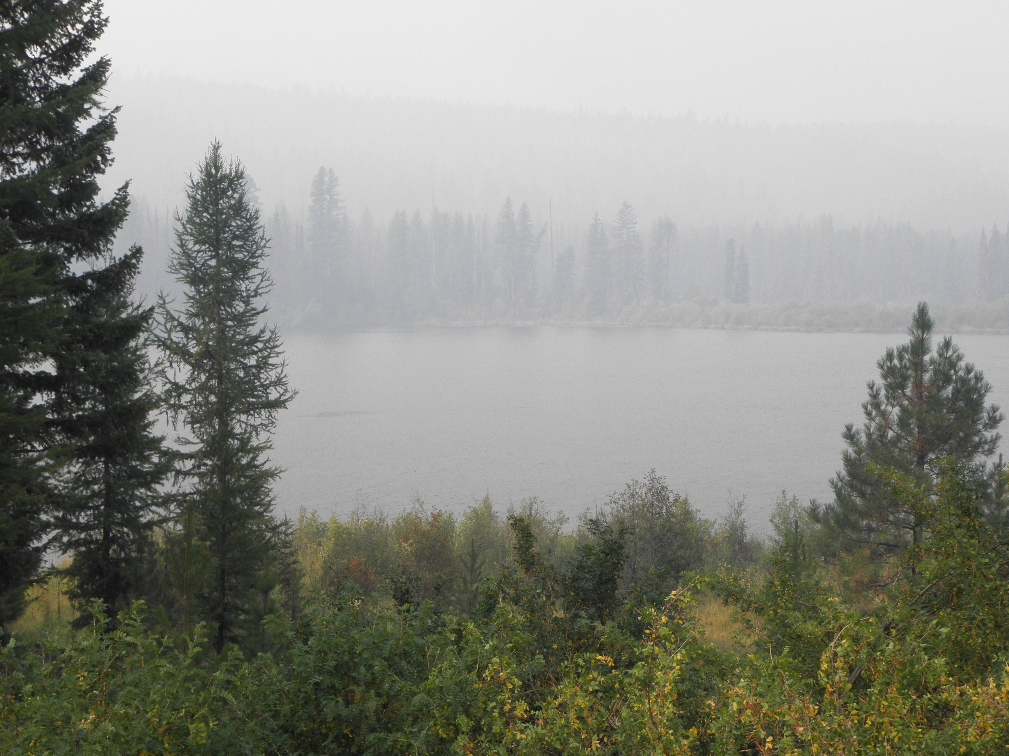
Or, indeed, this:
Summit Lake
Through Missoula, down a short stretch of US-93 which was exactly as I remembered it, then turn right onto US-12, pausing only to set all the buttons, switches and levers in the cockpit to "Hooligan" mode.  For this is Lolo Pass and the valley of the Lochsa River, which has a sign at each end reading thus:
That was 2010, when it was raining.  In 2009 they were digging it up.  In 2017 they were doing neither, although the unsporting Idaho side has a 50 mph speed limit.  Fortunately Mr State Policeman was parked on the far side of a corner so he merely gave an admonitory flash of his blinkenlights rather than chasing me down the road and throwing me into gaol.  On the rare occasions when the sun managed to break through the smoke a bit it looked like this:
South of Kooskia is a bit I've not been on before; the river valley is a good deal wider and has a bit more traffic on it but nothing to raise the blood pressure.  I was in danger of being early arriving here because of the hour gained by crossing into the Pacific time zone at the top of Lolo Pass, so took some pictures of bridges to pass the time.
Not a bridge, but rather the meeting to the Lochsa and Selway rivers, forming the Middle Fork of the Clearwater River
In the west of USAnia they ran out of names for rivers fairly early on, so you can have absurdities like the North Fork of the South Platte river cheek by jowl with the South Fork of the North Platte.  And so on.
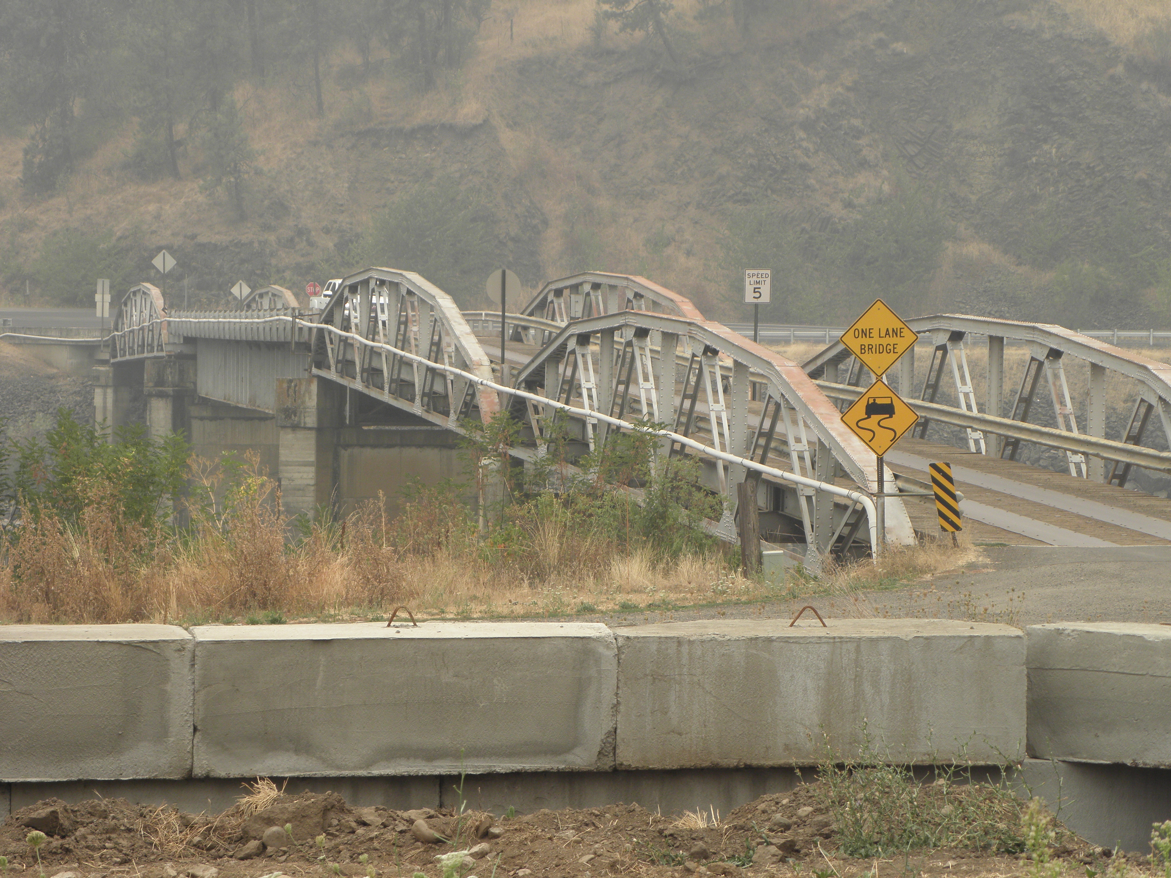
Bridge of the Day: leads to the Post Office at Lenore ID.  US-12 on the opposite bank.
It will probably come as no surprise to learn that on the other side of the Snake River from Clarkston is... wait for it... Lewiston.  In these parts it is impossible to escape Lewis and Clark for long, and they ranged a good deal further afield than military twerp George Armstrong Custer who, inexplicably, also has towns and things named after him.  Even though he lost.

I came through these parts two years ago when it was gloriously sunny and the view from the top of the valley was quite spectacular.  Today you can't see the top of the valley sides.  And I have an horrible feeling that fings are not going to get much better.  I chatted with a Nice Lady in the car park shortly after arriving.  She'd driven up the Columbia River gorge from Portland today.  The word "beautiful" was mentioned a Several of times, but then so were "smoke", "flames", "road closure" and "evacuation of whole towns".  "I've never seen it this bad" she opined.  Guess where I'm going tomorrow?

2 comments:

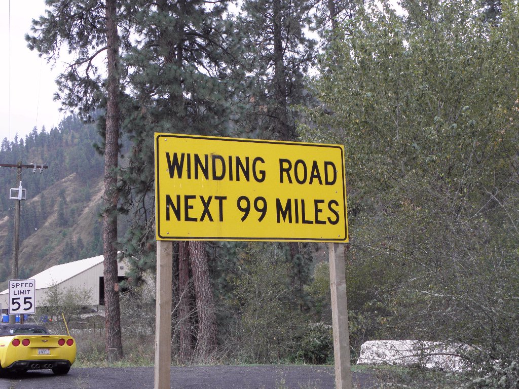
  1. Hmm. There appears to be a Beatles related signpost gag missing from your 3rd photo.

    ReplyDelete
    Replies
    1. Unfortunately I missed getting a photo of the big sign yesterday pointing down US-97 and reading:

      WEED
      SAN FRANCISCO

      Delete

O hai, spammers!

All comments are moderated so don't bother.

Kthxbai!